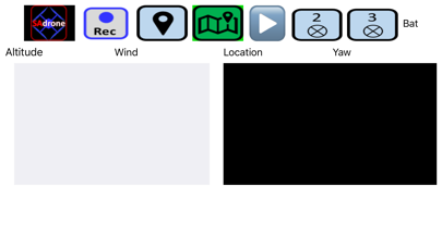


When connected to a Scientific Aviation instrumented drone, the app displays real-time methane data, real-time images from the forward-facing drone camera, and ancillary data for optimal pilot situational awareness during flight.
Flying the drone in a prescribed pattern downwind of potential methane sources allows you to accurately quantify the full horizontal and vertical extent of methane plume enhancements from a site.
When connected to a WI-FI network, the app allows you to upload previous flight data files to our encrypted server for post-processing and methane emission rate calculation at Scientific Aviation.